
25 March 2021
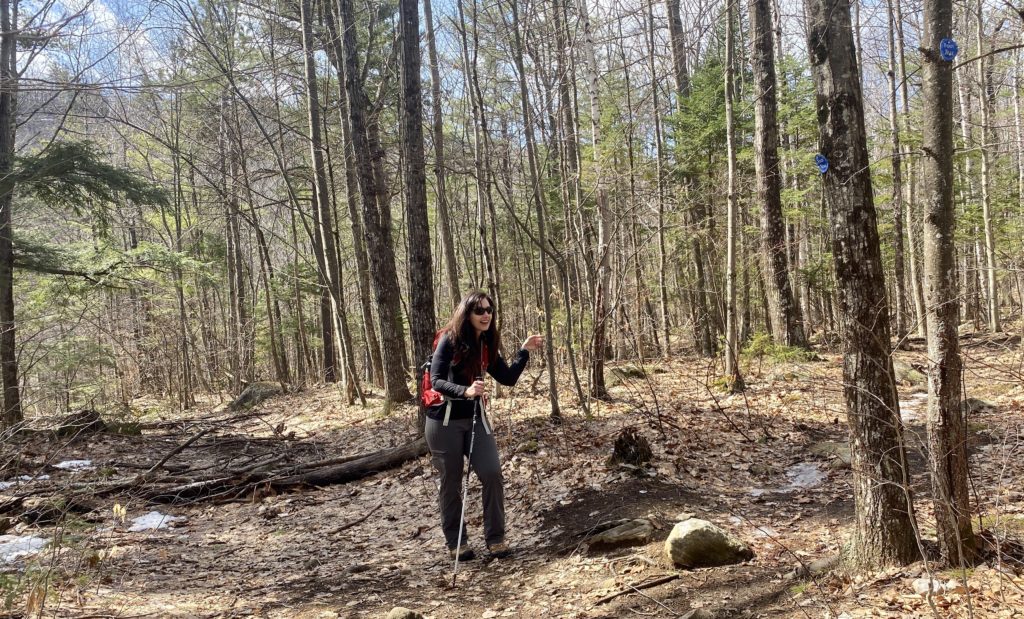
Today Anne and I decided to take a hike up Poke-o-Moonshine Rolling the Observer’s Path Trail. Even though the calendar says Spring and the temperature feels Spring, you just never know what you’re going to get in the Adirondacks. So we prepared for it all: snowshoes, micro spikes, poles, gloves, hats, etc. When we pulled into the parking lot the temperature was 60 degrees at 9:45am. It was going to be a warm day! Other than the plowed piles of snow, there wasn’t any on the trail when we started out. The trail was wet and soft from all the melted snow and it was that way for most of the hike.
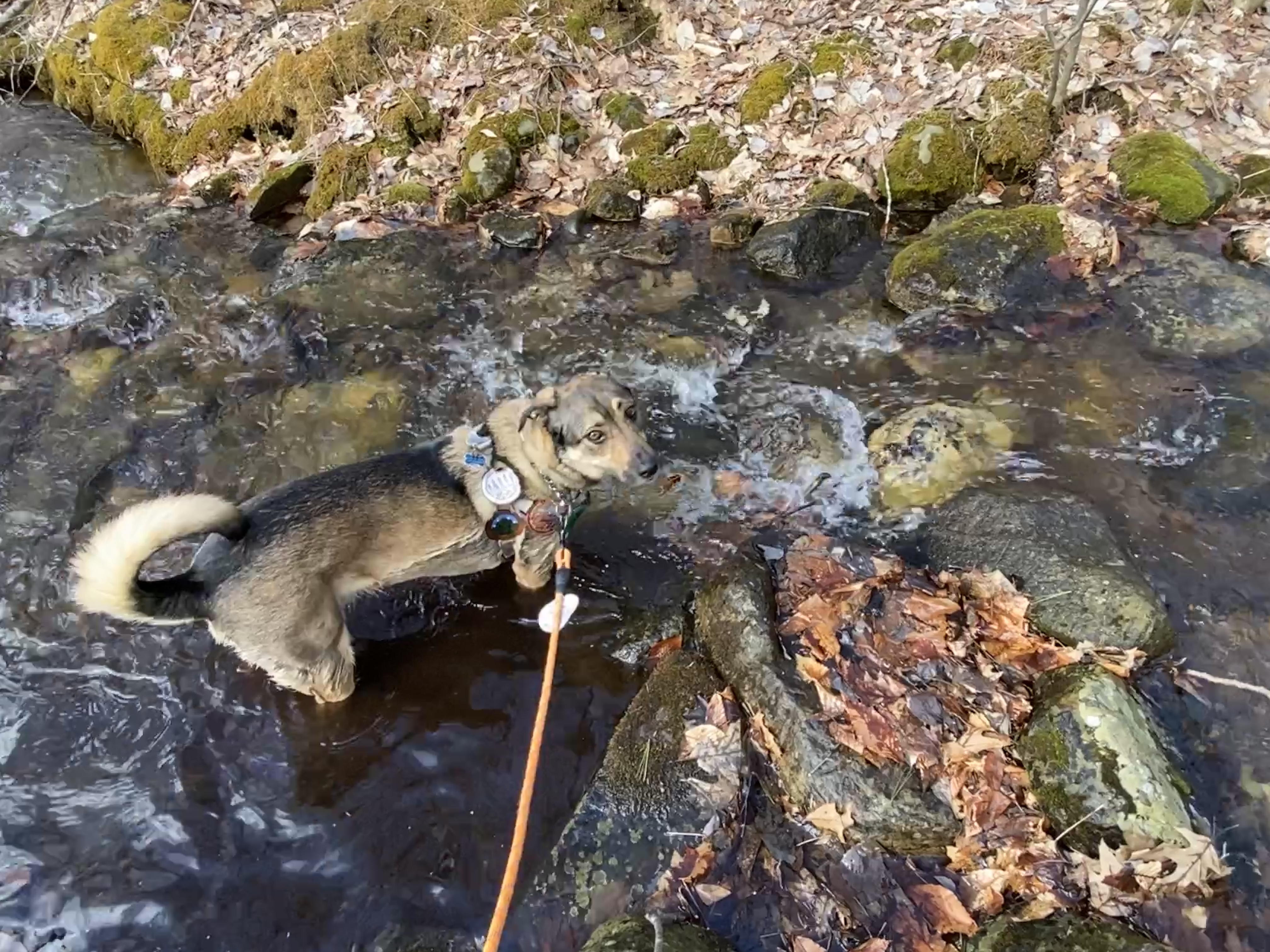
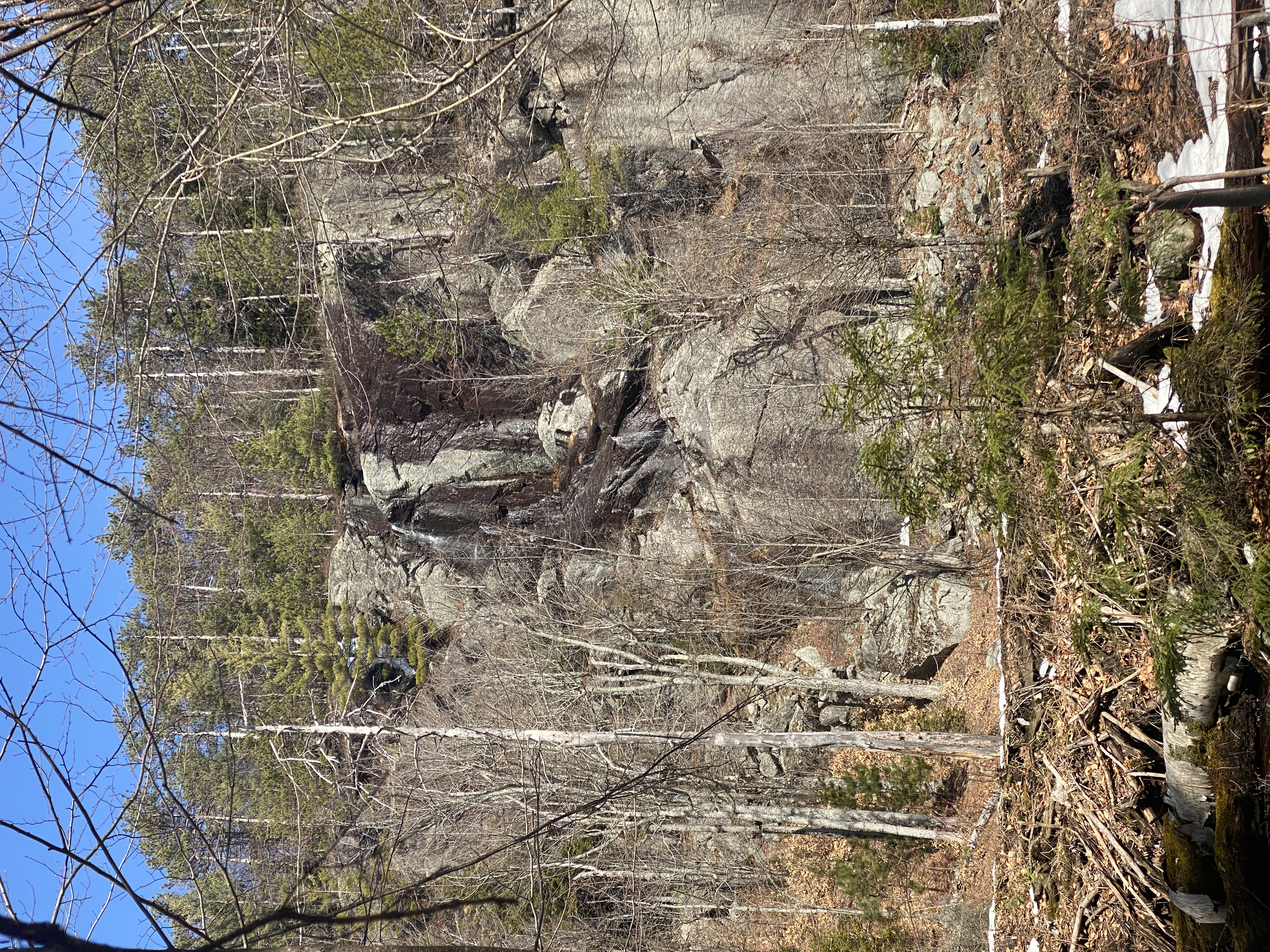
The trail itself was easy, with little inclines and declines throughout and a couple of small creeks to cross, but there are plenty of rocks to step on to get you across.
While there are blue markers for the trail, we did miss an important one. We mindlessly followed what we thought was the hiking trail but was actually an ATV trail (the observer’s path intersects with several), taking us about .3 miles out of the way. We were able to use gps and climb through the the woods to find our way back and did not have any issues from that point onward.
As we got further up the mountain we did come across patches of ice and snow, but not significant enough amounts to need snowshoes or spikes.
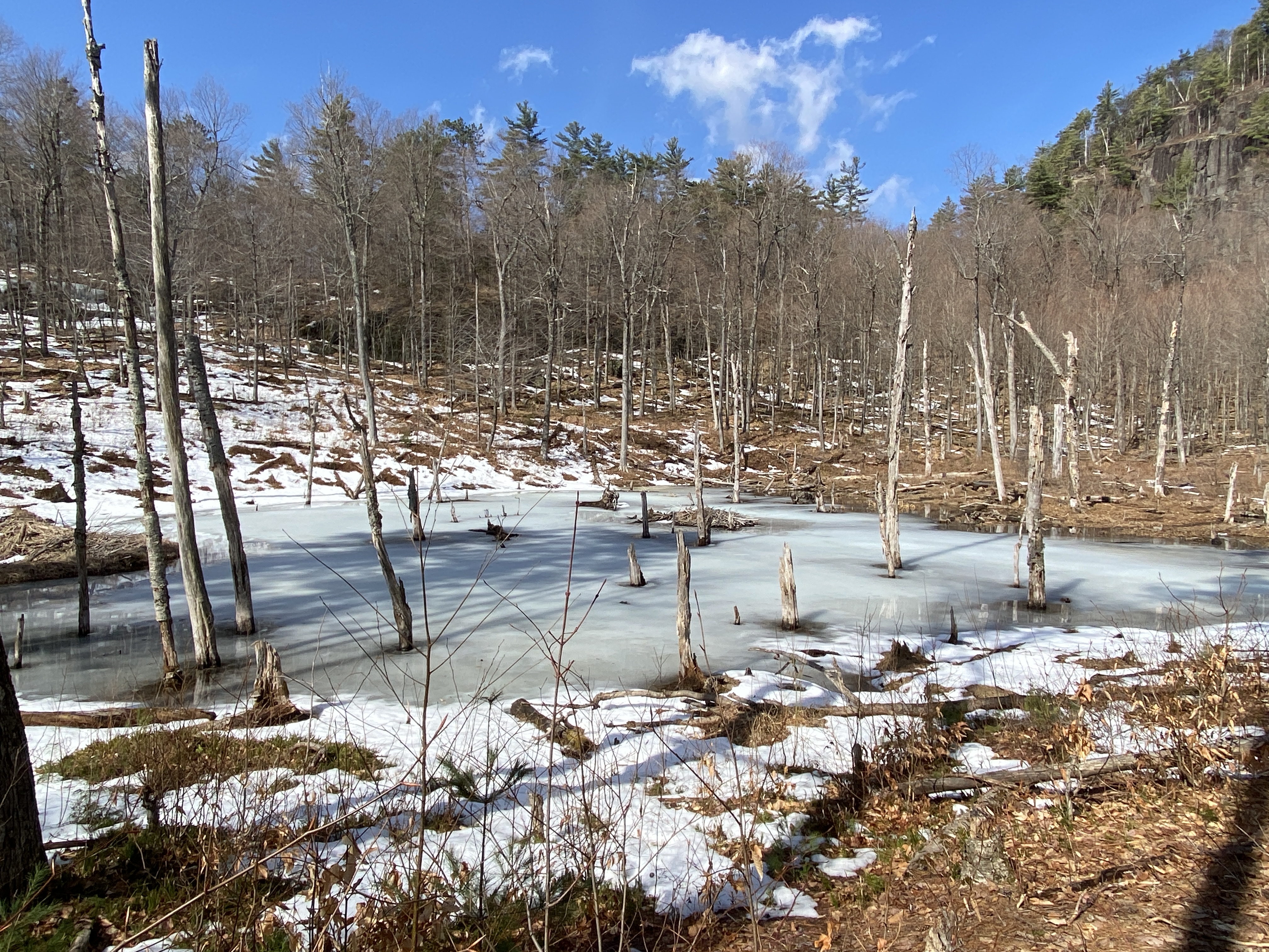
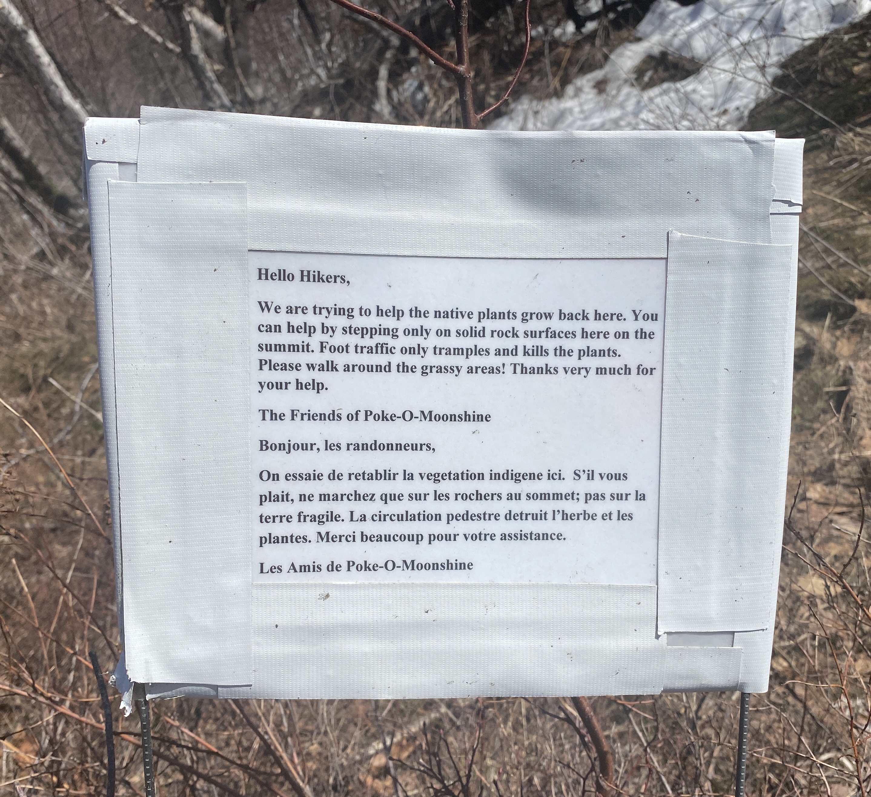
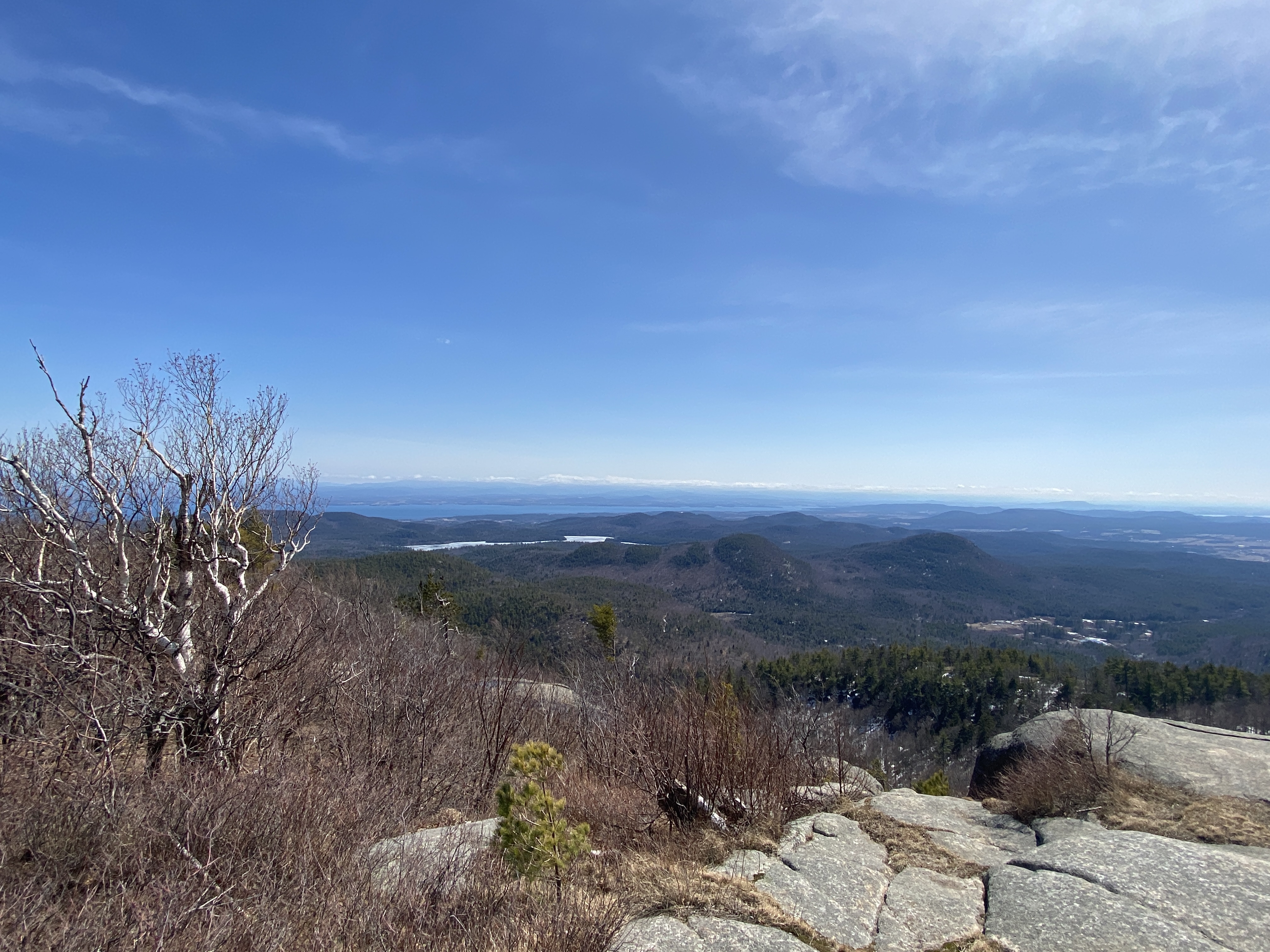
Along the way we passed 2 ponds that still had some ice on the surface and in the middle you could see a beaver’s den. These ponds are fed by the same stream that forms at the top and runs along sections of the trail.
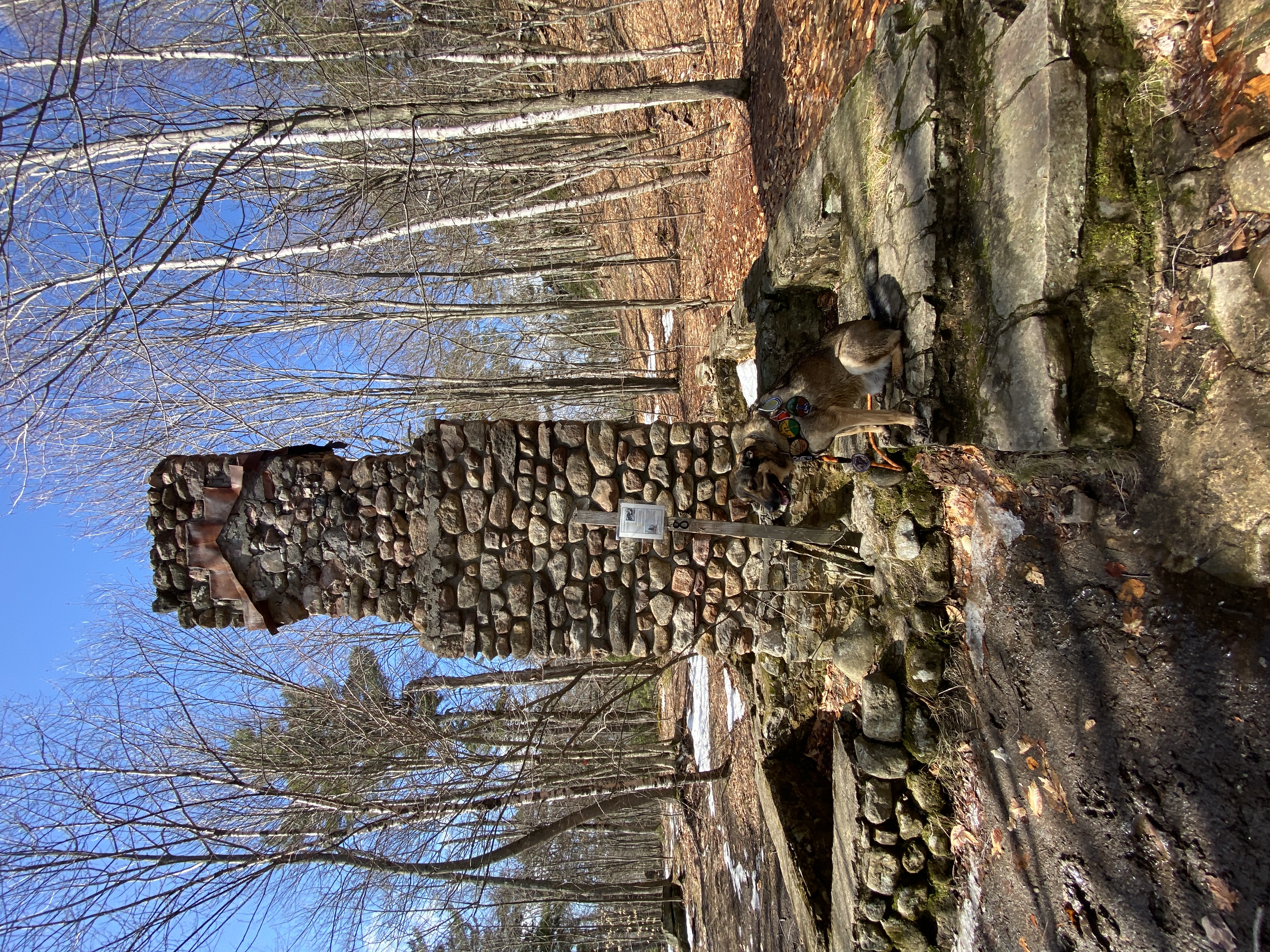
At .3 miles from the tower, we came across the remains of the caretakers cabin. It had burned down to where only the fireplace and foundation were left. According to the information posted, there was also a second cabin built for the caretaker’s family when they would come visit but I did not see any remains for it.
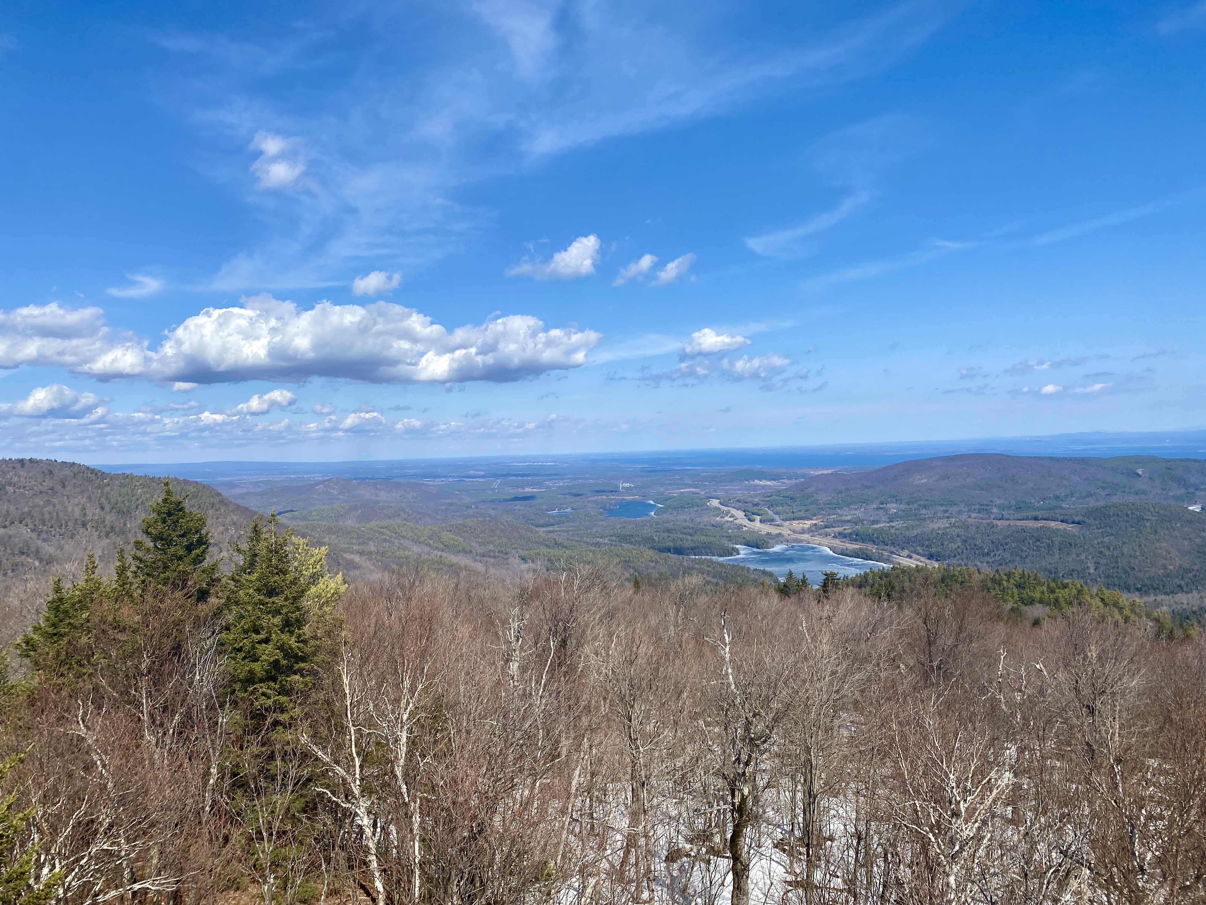
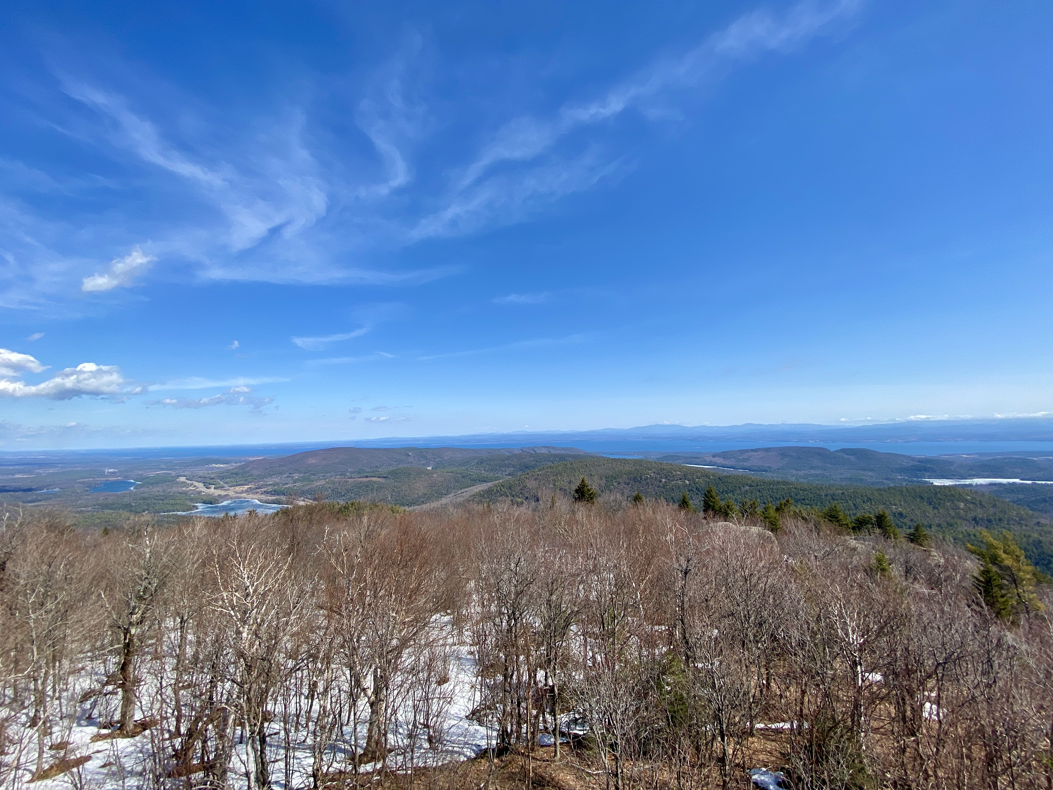
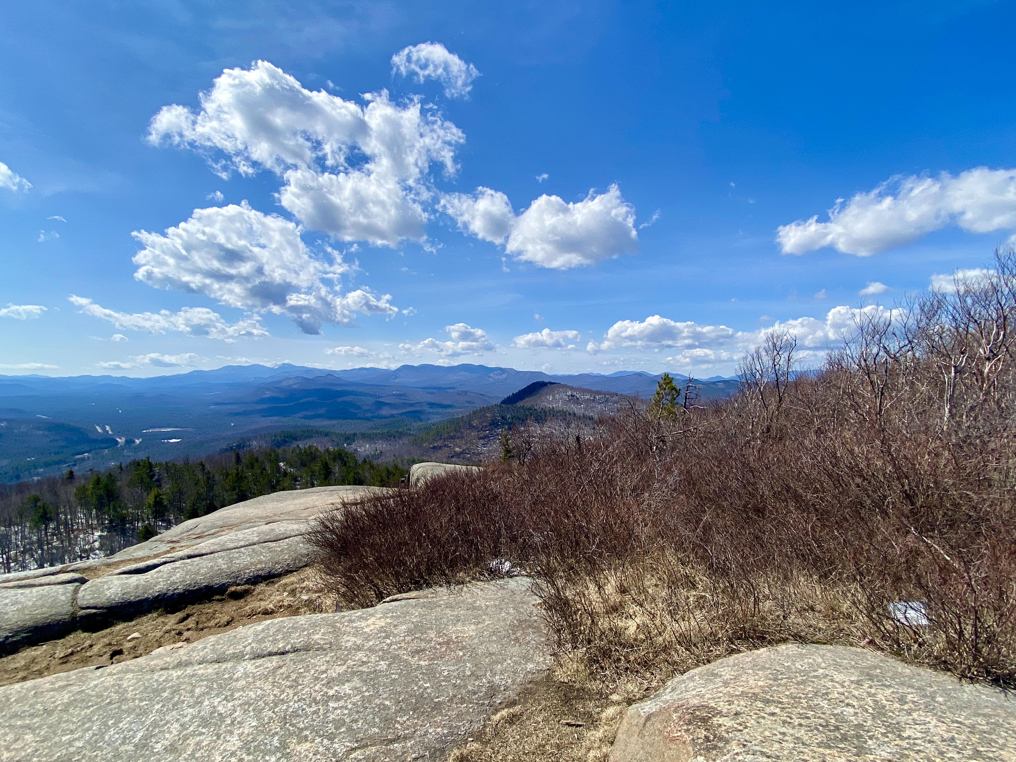
As we moved on from the caretaker’s cabin we came across a little outlook area that gave us a taste of the spectacular views that were yet to come.
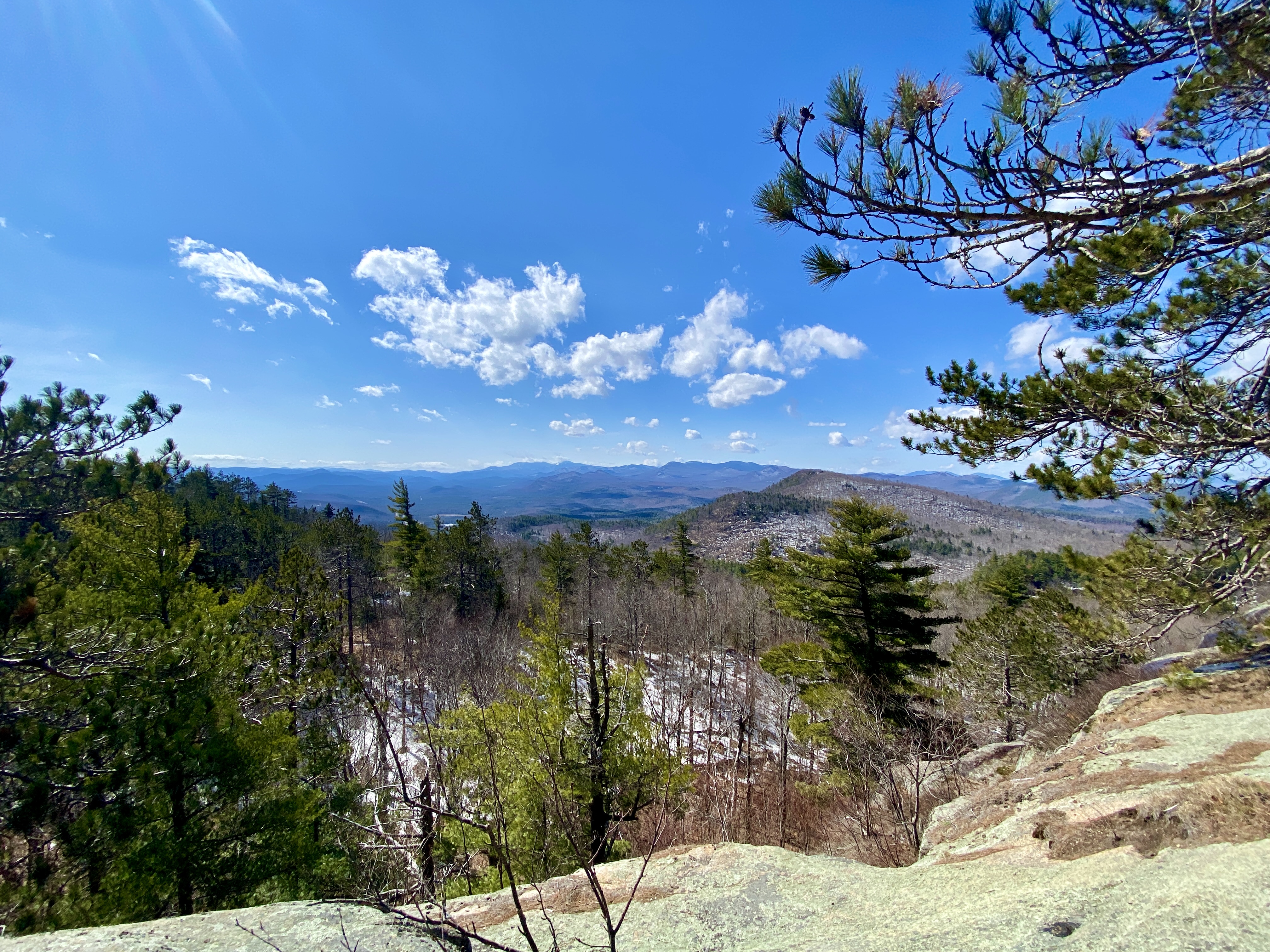
iew from the clearing, including Whiteface in the distance.
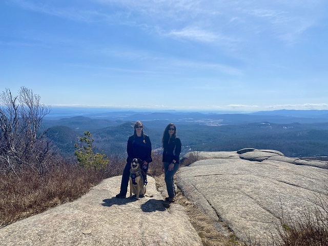
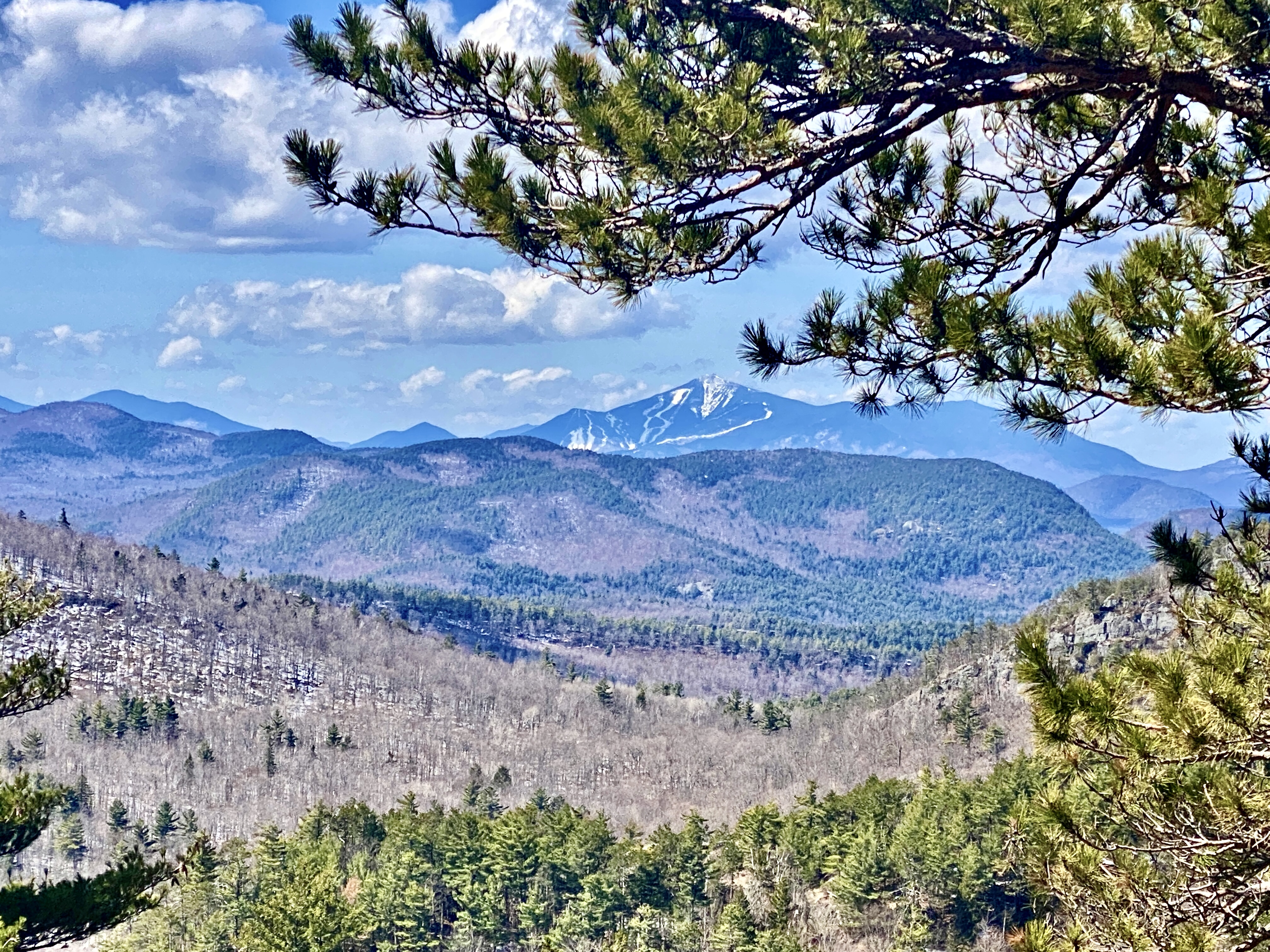
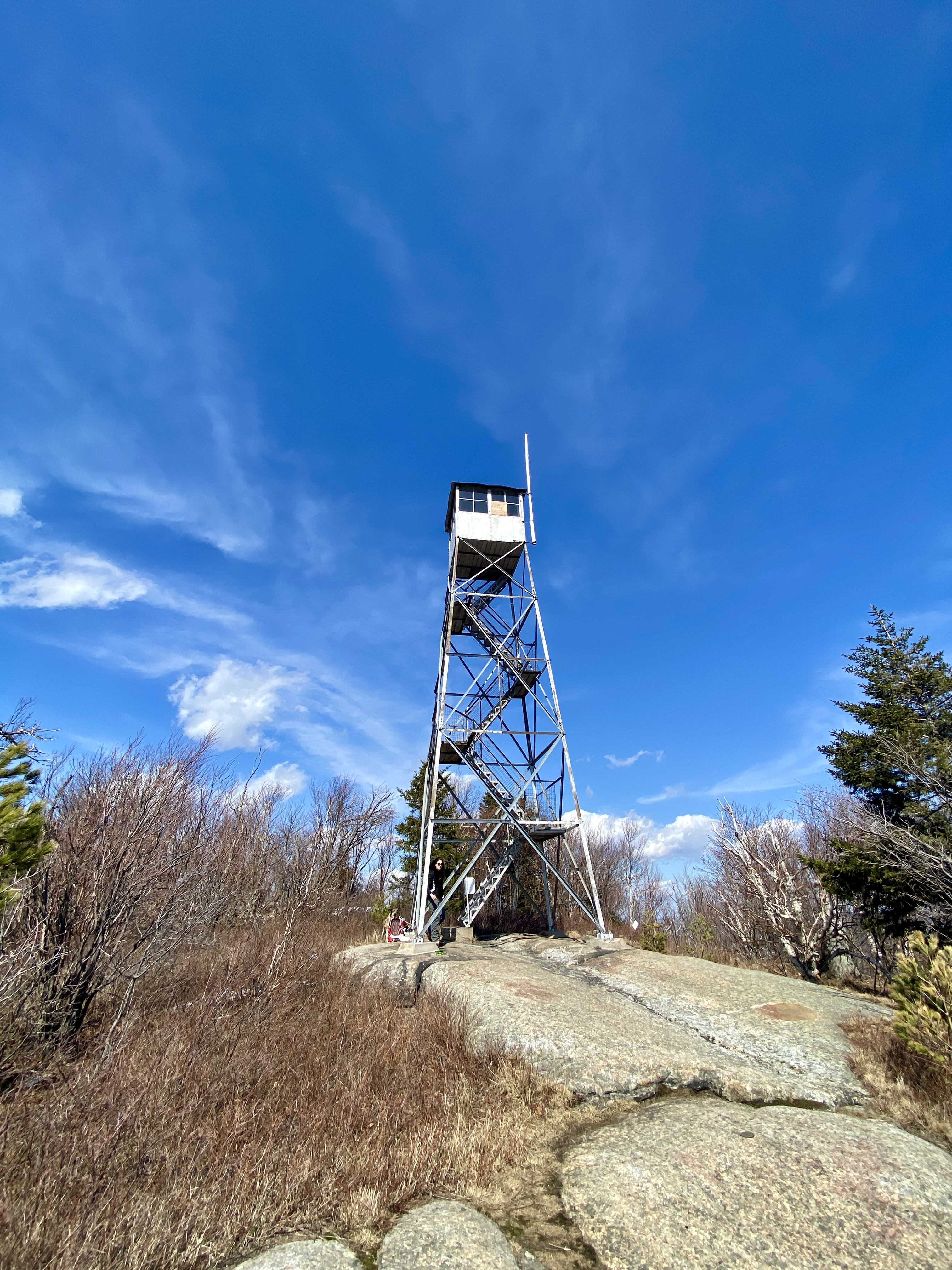
We encountered the most snow just before reaching the top. It was mushy but manageable as the edges of the trail was not covered in snow. As expected, the summit was windy but the views were phenomenal!
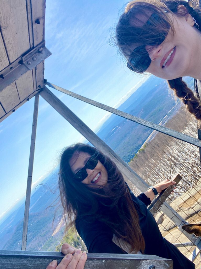

While hanging out at the summit, we met another hiker who is local to the area. She hikes this trail almost every day, all year long. As if that wasn’t amazing enough, we think she told us she was 84!!!😲 Goal- hike like Marie.
As we headed back down the trail, the warm weather really started to melt everything, and what snow was left on the trail really slushy. Only a few parts were a little tricky to descend on:
On our descent, it was very noticeable how much more snow and ice had melted since we started our hike. There were sections of trail that had been dry and now had significant running water across from the melt.
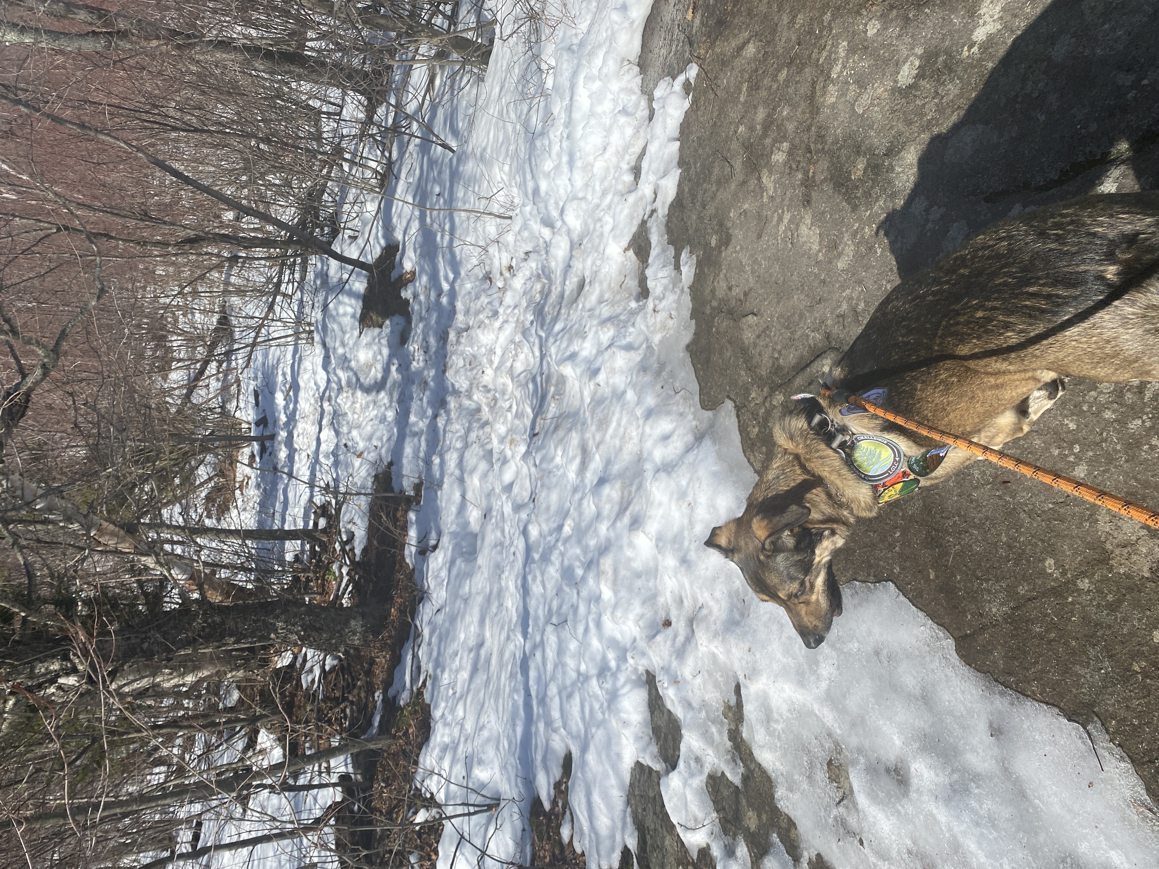
Since we managed to stay on the trail our descent went pretty quickly. Back at the car, a very muddy Floki enjoyed his lunch and then we headed home.

One thing we had both wondered was how this peak got it’s name so I looked it up when I got home. According to an article I found on adirondackalmanack.com, written by John Sasso, there are a few theories. One is that it comes from the Algonquin, who called it Pohquis Moosie, which means “where the rocks are smoothly broken off”. Another is that it may derive from the Prohibition Era. To read more about the various theories of Poke-o-Moonshine you can click here: https://www.adirondackalmanack.com/2020/09/whats-in-a-name-poke-o-moonshine-mountain.html
Hike Details:
| Location: | Chesterfield, Essex County, NY |
| Directions: | Observer’s Path Trailhead parking is exit 32 off of I-87 to Route 9N |
| Challenges: | Adirondack Blue, Adk 29er, Adk Fire Tower Challenge, Adk Quest |
| Difficulty: | Moderate |
| Distance: | 4.6 miles out and back |
| Elevation Gain: | 1,292 ft. |
| Moving time: | 3hr 15 min |