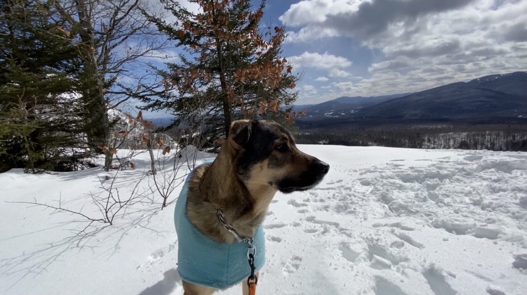
Moxham Mountain
25 February 2021
While it wasn’t exactly warm out today, hiking this modest mountain kept you toasty head to toe all the way up to the top. The sun was playing hide and seek with us along the way with varying degrees of wind as you got closer to the top (as would be expected). The trailhead sign says 2 miles to the summit, but it was actually about 2.75 according to our tracker.
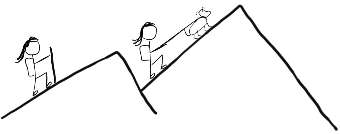
Snow shoes were a must. Even though the trail was broken at the lower elevation, there are open areas where the wind caused drifts that we had to “rebreak” and sometimes that meant sinking down six inches or more into the snow. Floki was having a difficult time, as he usually is in the lead. Without an obvious trail in the snow he wasn’t always sure where to go and the depth was reaching his belly. So we changed the order and I lead the way which was much easier for Floki and Anne.
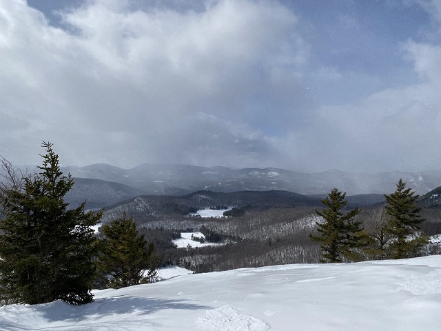
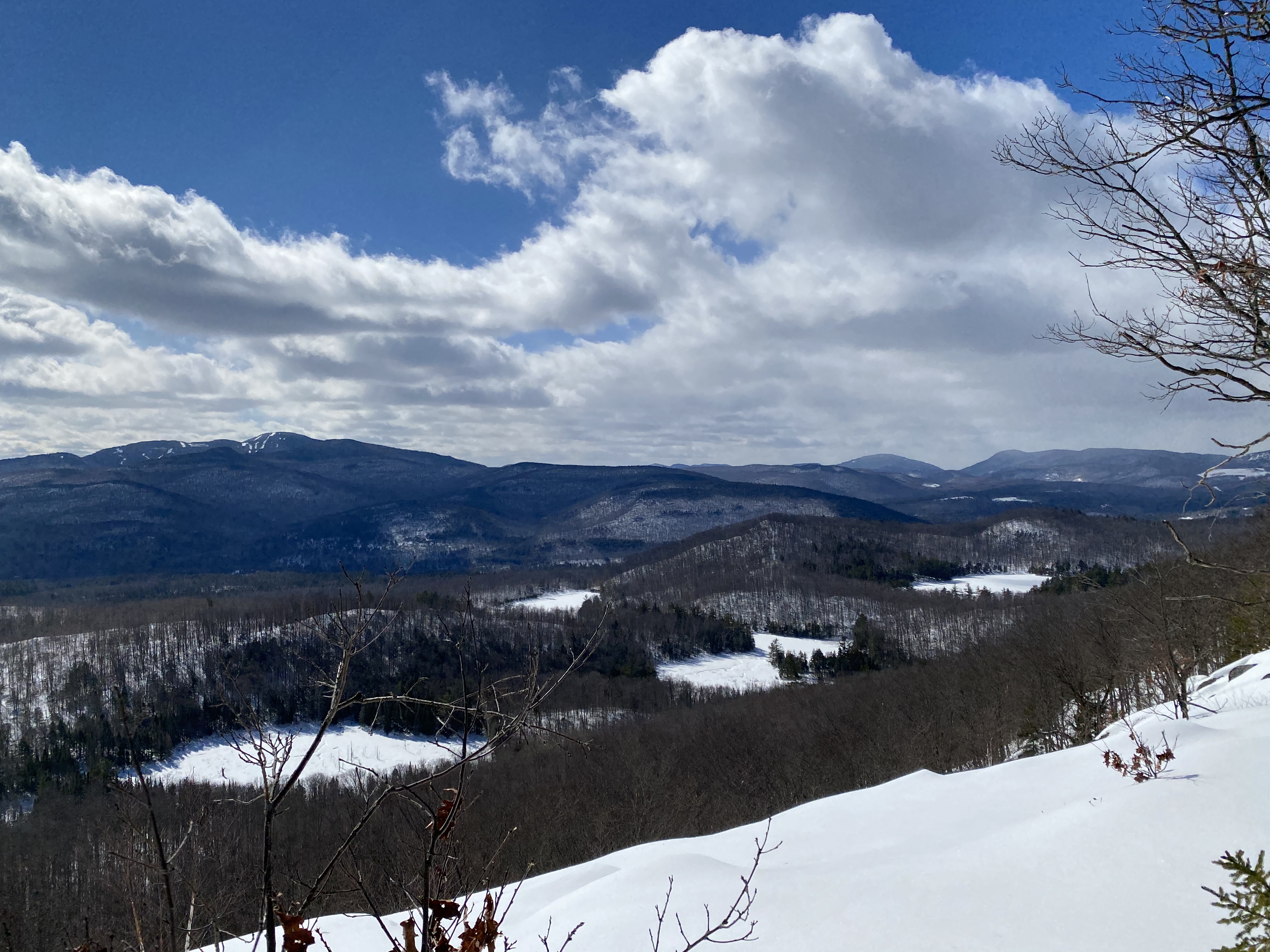
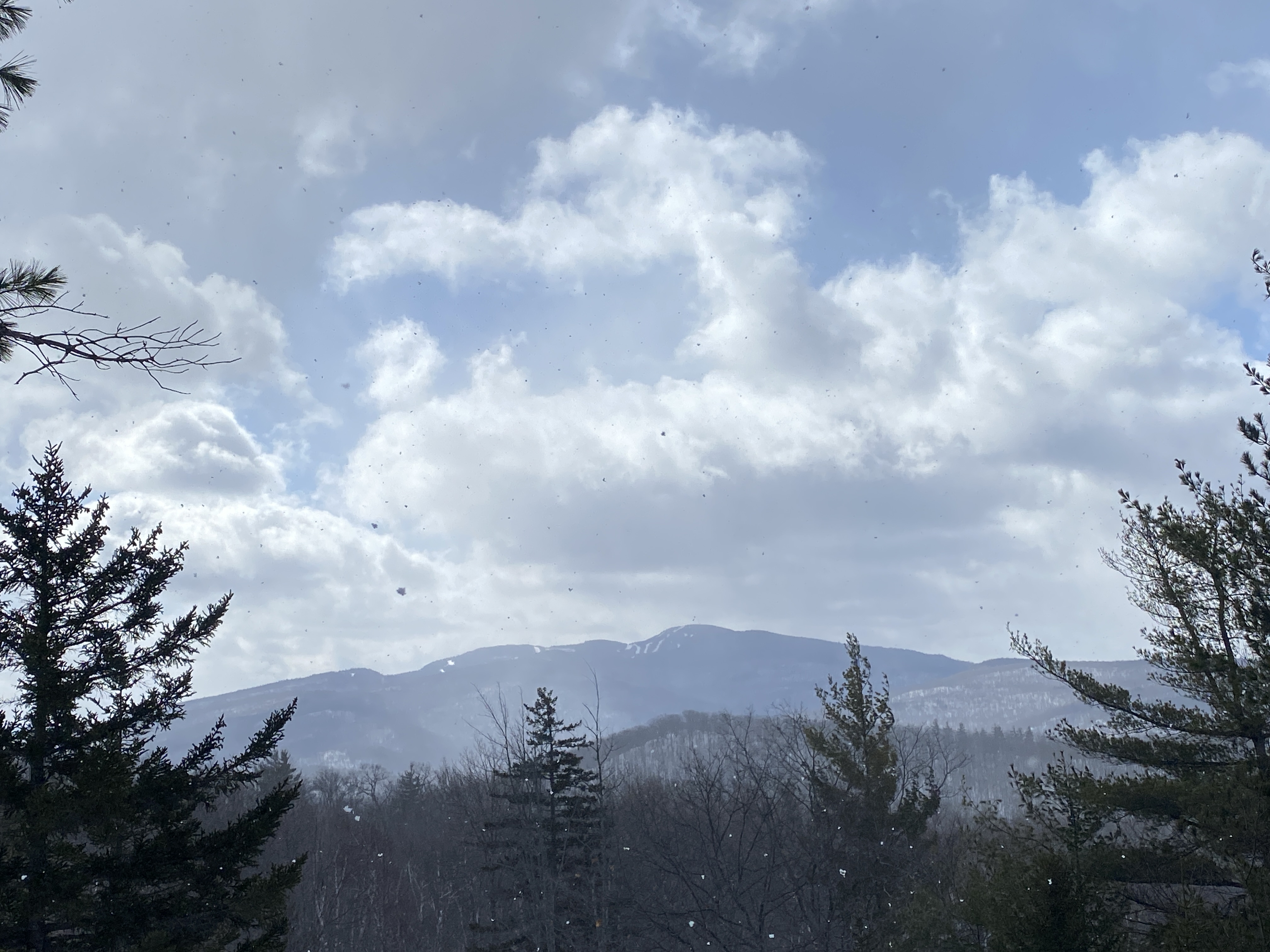
The trail started off on a very modest incline and stayed that way for about .6 miles. After that it tapered to a decline then the rest of the way was varying degrees of ups and downs. It’s a beautiful trail with different views along the way. The first open view looks over a valley. The second open overlook gives you your first sighting of Gore Mountain to the southwest.
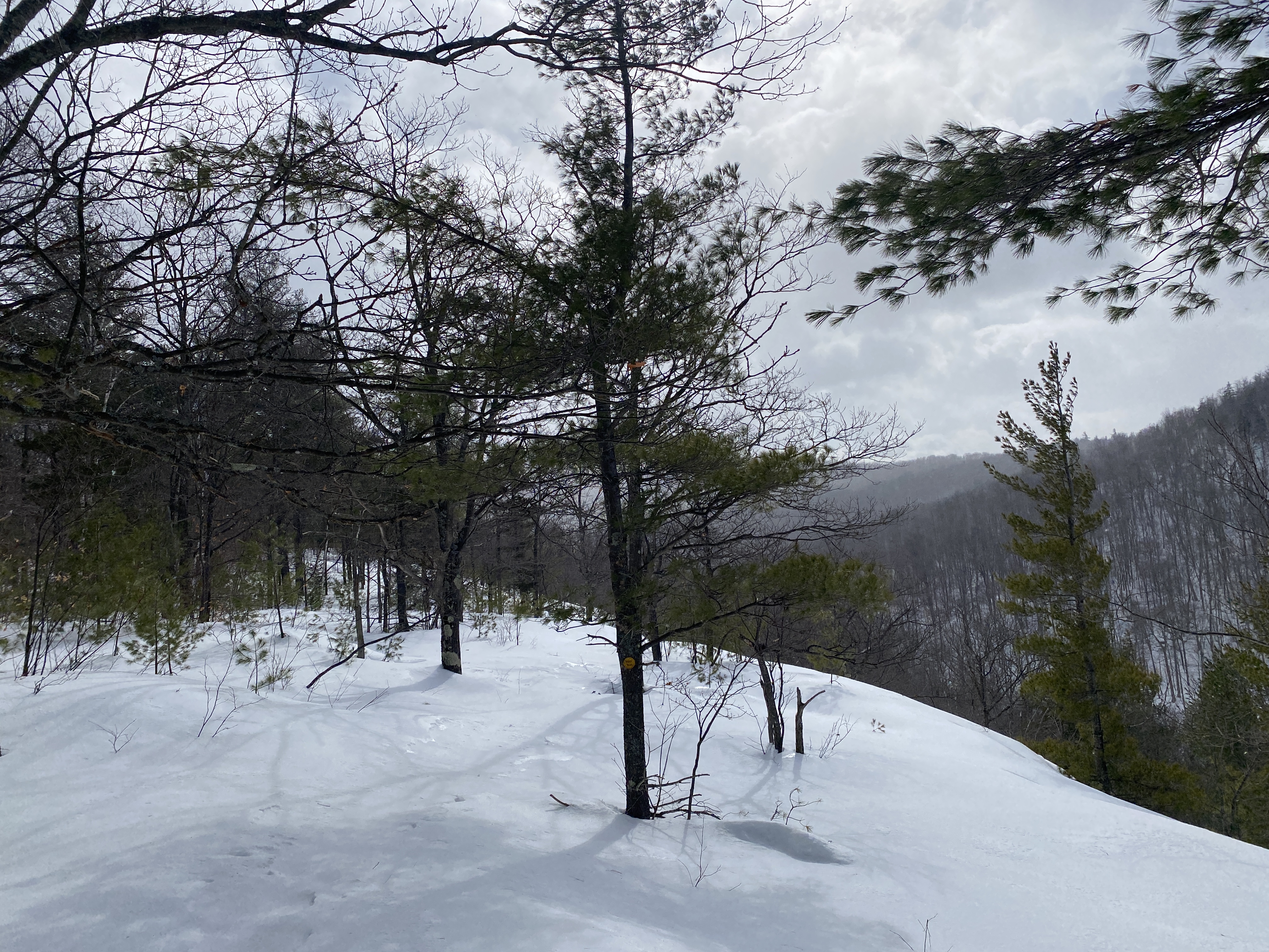
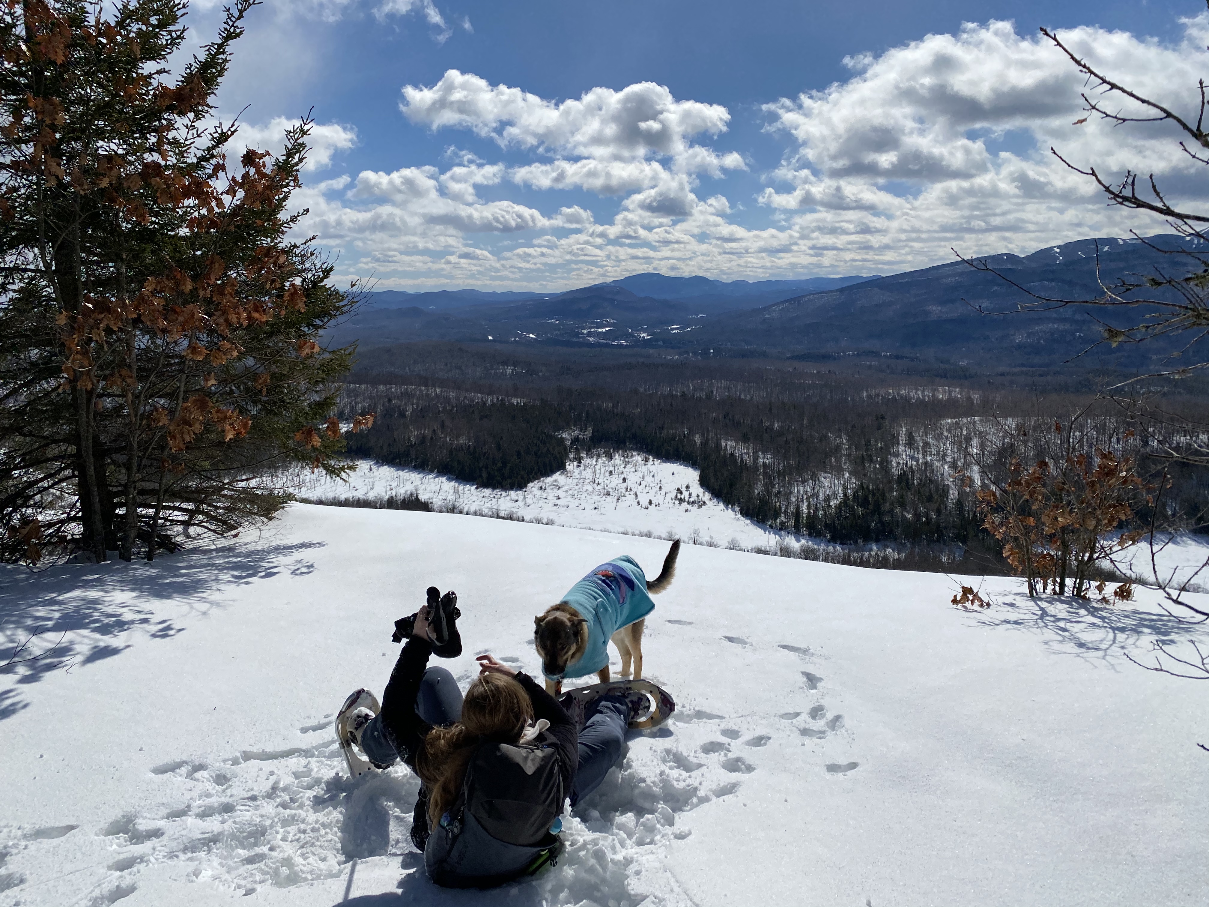
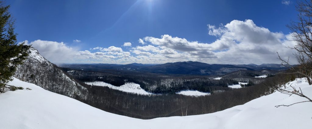
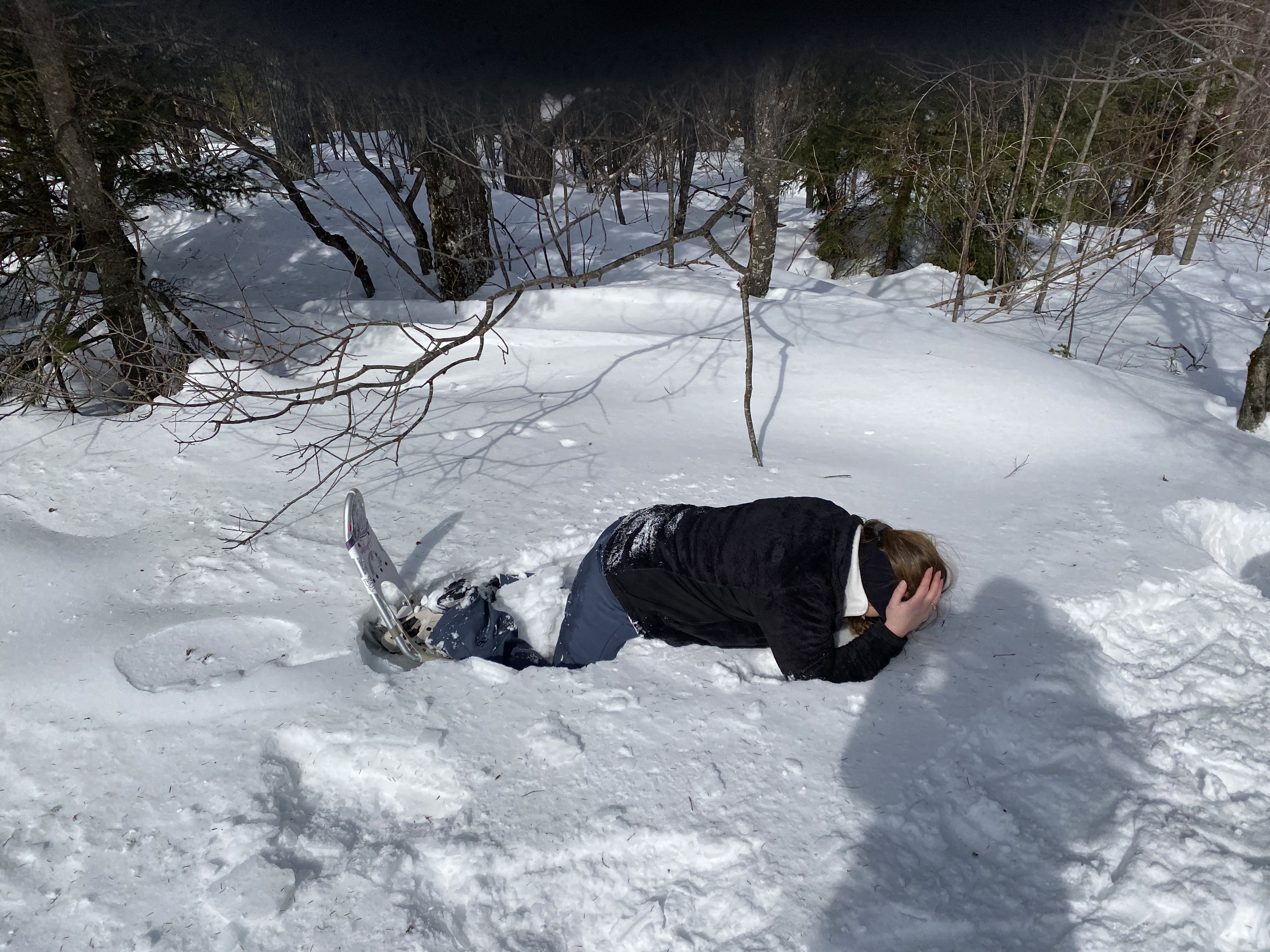
The next major ridge overlook was spectacular. Anne took her first klutzy tumble of the day while taking pictures of the open view. Nothing to worry about, she just got her left foot stuck and slowly tipped over. Floki was right there to help.
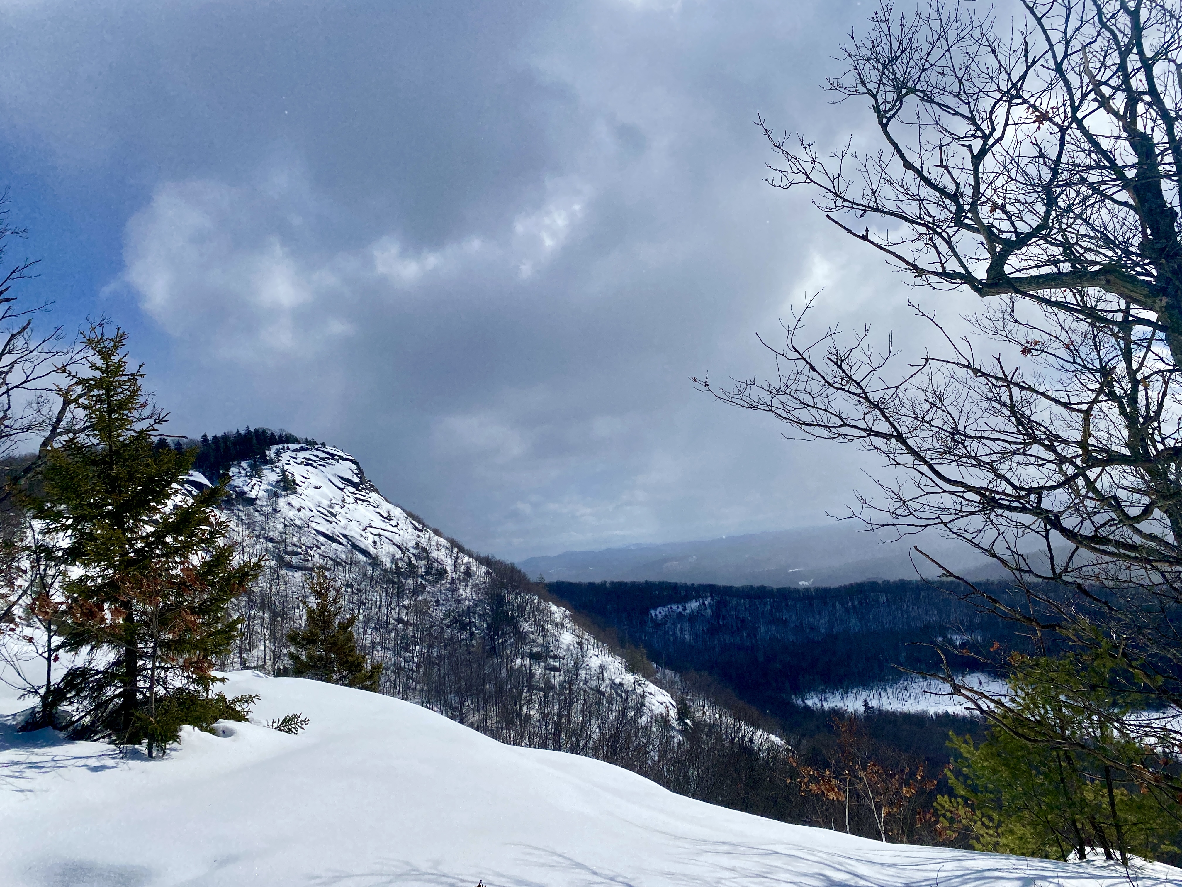
Every time we came to a view point I’d say “is this it?” and Anne would say “no, not yet.” Then she pointed to a peak to the left and I was like “it looks so far away”, but in reality it wasn’t much further. From the open space, it looks like a steep incline, but the trail actually gently climbs up the back side of the small peak.
The summit views were worth the trek despite how really windy it was at the top. We tried to take pictures but the wind was just too intense to really take our time with that, so we took some shelter in the trees and enjoyed our summit snacks.
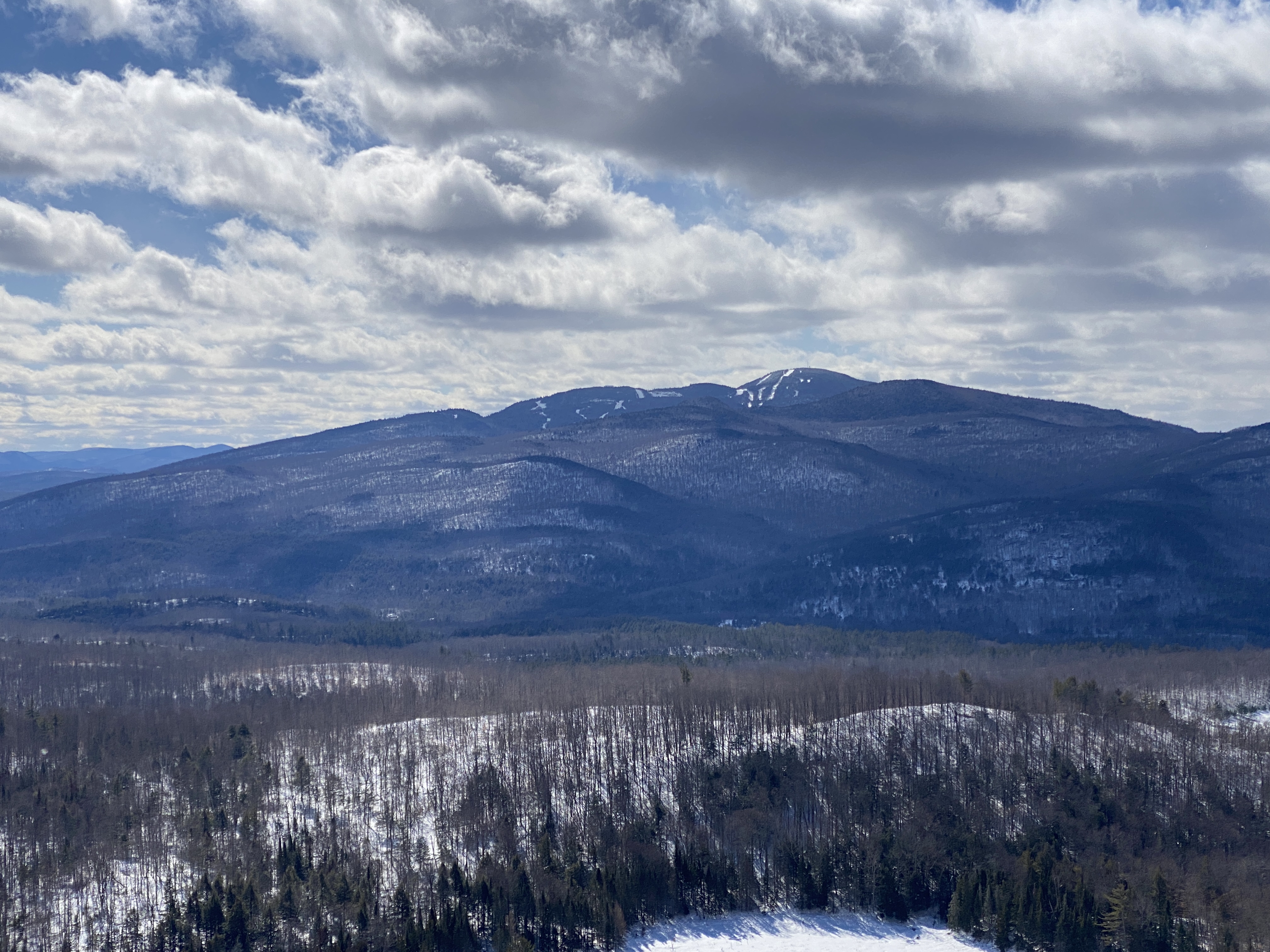
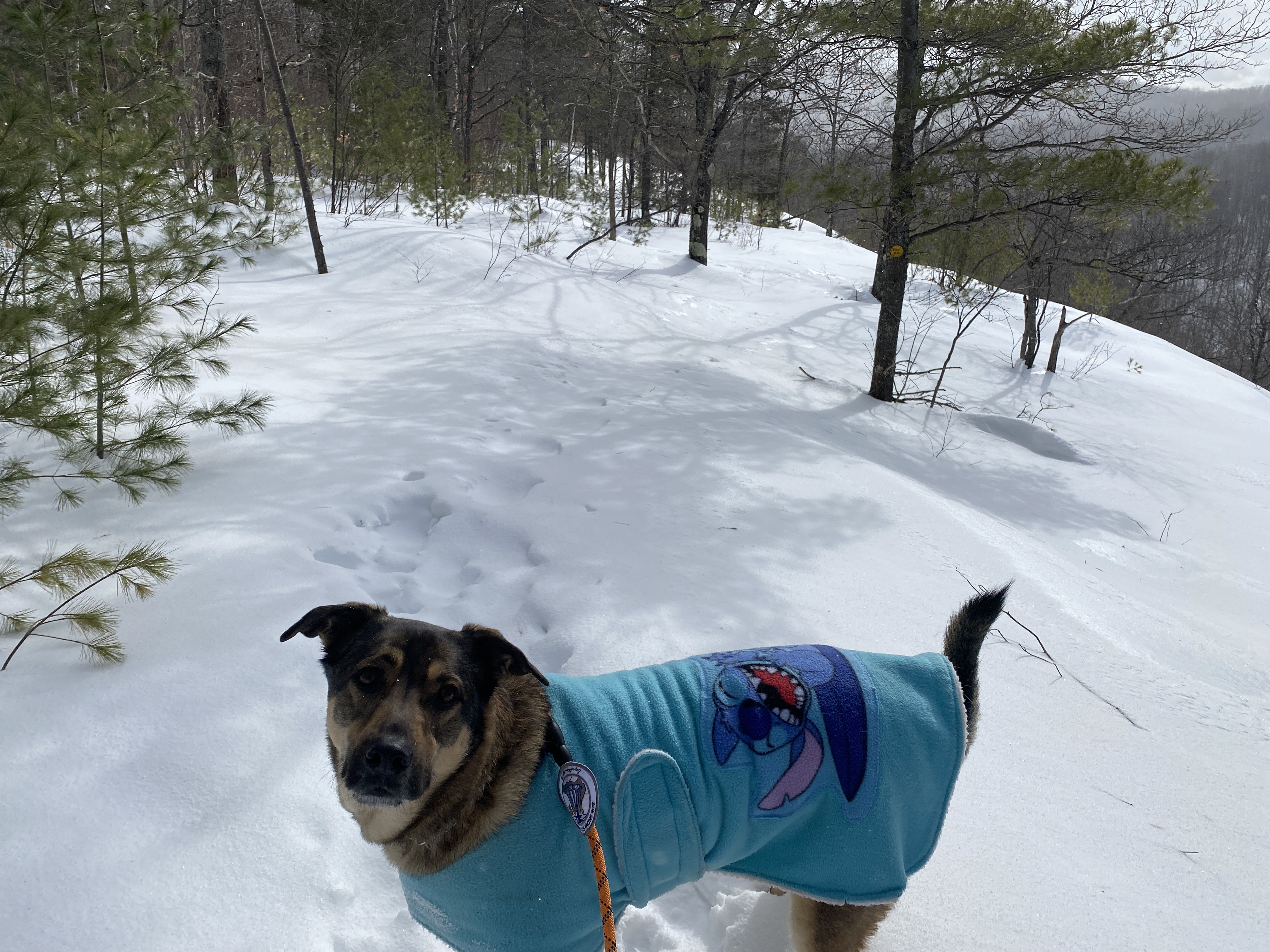
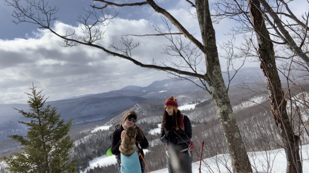
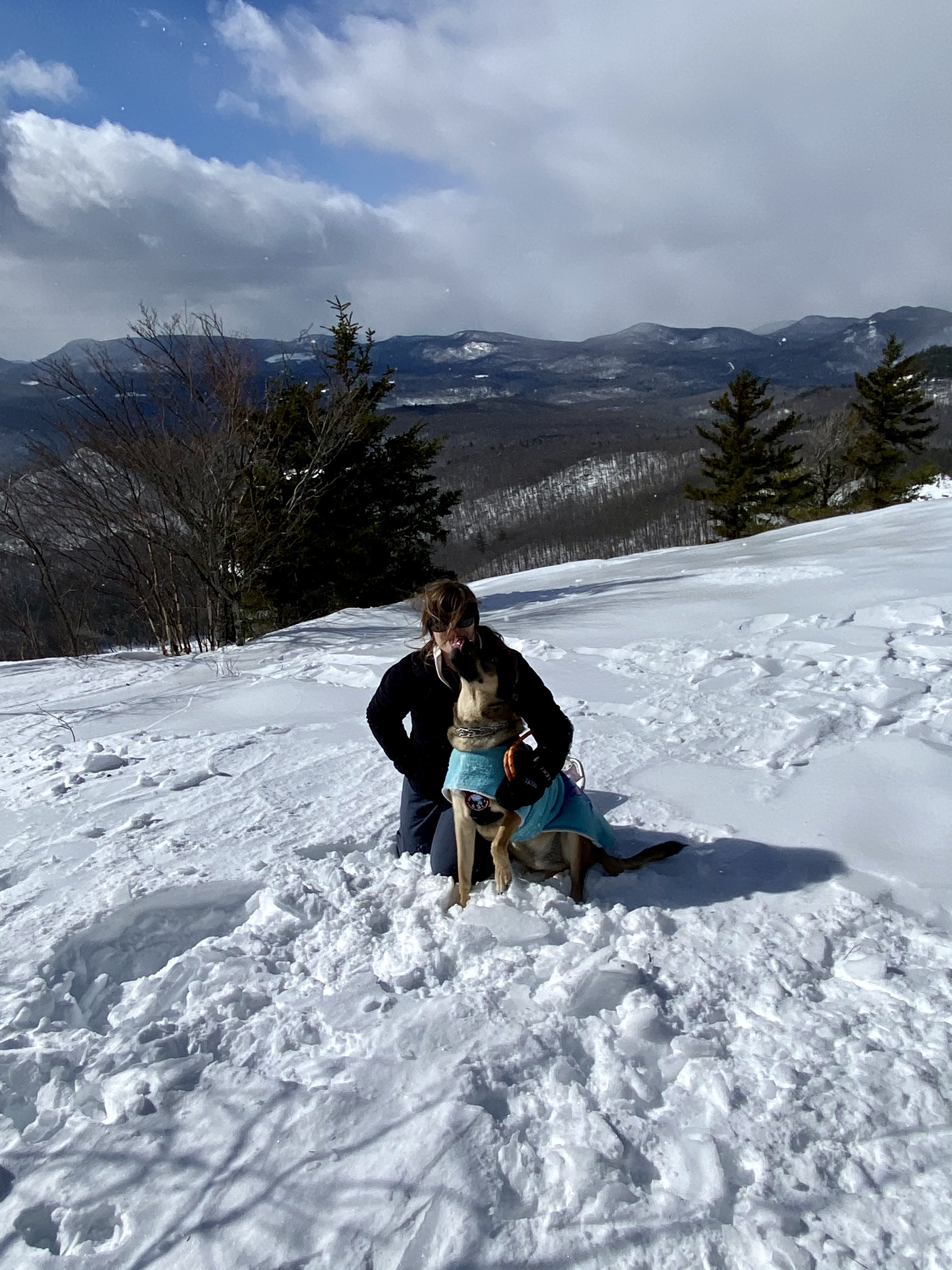
We do a lot of hiking challenges together. Anne tracks our progress in a big binder and many of them require selfies for proof. This is my version of a proof selfie:
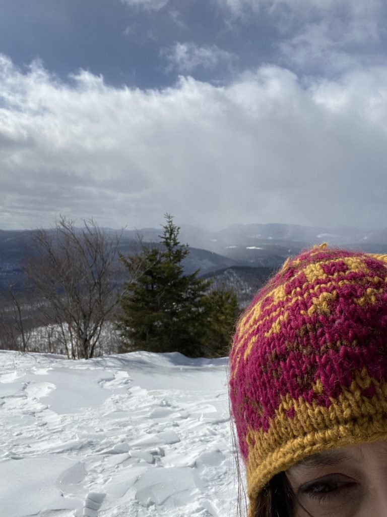
And this is Anne’s:
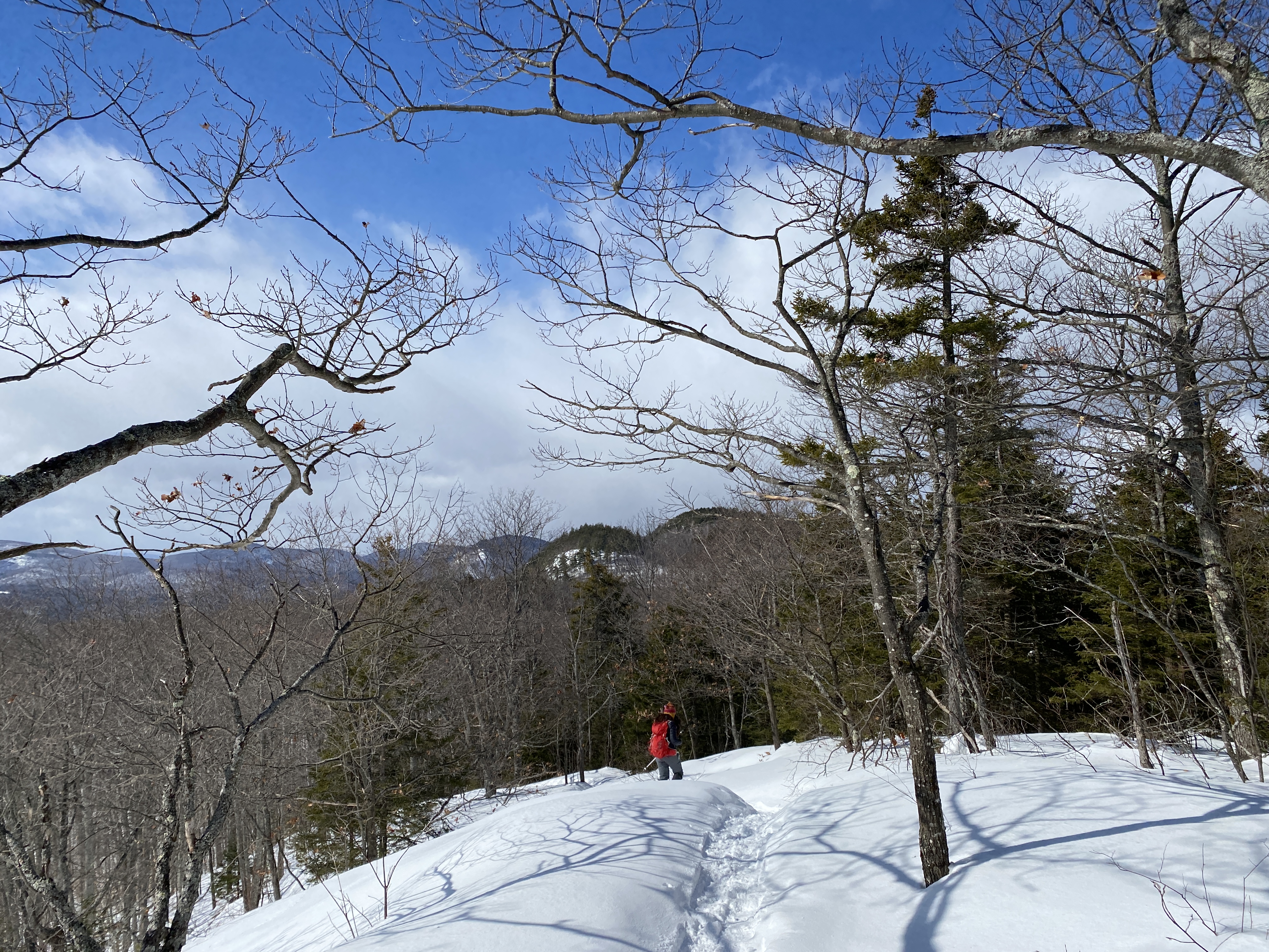
The hike back down went much more quickly then it did going up since we didn’t have to rebreak any of the trail. There were however, portions of trail that the wind had already covered with a new layer of snow since we had ascended. We pretty much descended the whole way without chatter, just enjoying the peace of the trail. Because the elevation change is spread out over 3 miles, there weren’t any steep or technical sections. It took us about 2 hours to ascend and 90 minutes to descend, so slower than we anticipated. Overall, this hike was a great leg workout especially with snowshoes, that offered lovely wooded scenery and several different views.
*Just a note about preparedness: Anne forgot both her coat and trekking poles today. Fortunately, she has a lot of extra gear that just lives in her car, so she had plenty of warm fleece layers. Managing Floki on leash without poles made it hard to maintain her balance (as evidenced above) and added to the strain on her body. If this hike was more technically challenging, with a higher elevation summit and colder bitter temperature, it could have been more dangerous and perhaps we would have bailed. Point is: it’s important to have a plan B and be willing to leave your intended destination for another day. The mountain will always be waiting.
Hike Details:
| Location: | Town Shed/14th Rd. (Rt 37), Minerva NY, 12851 |
| Directions: | From I-87 North, take exit 26toward US-9/Pottersville/Minerva. Turn left onto Valley Farm Rd., then right onto US-9 North. Take a slight left onto Olmstedville Rd. (Rt 19) and follow for 6 miles then left onto Co. Rd. 29. After half mile, turn right onto A.P. Morse Hwy (Rt 30) and follow for 2.4, then turn left onto Town Shed Rd/14th Rd (Rt 37). Follow for 2.4 miles to the trailhead and parking lot on your left. there is room for 4-6 cars. |
| Challenges: | ADK-9, ADK 29er |
| Difficulty: | Intermediate in snow, modest in dry weather. The ascent is gentle and meandering but ridge sections that are open to the wind will have deep snow drifts to maneuver through. |
| Distance: | 5.5 miles out and back |
| Elevation Gain: | 1,338 ft. |
| Moving time: | 3 hours 30 minutes |
